Ulipur Upazila
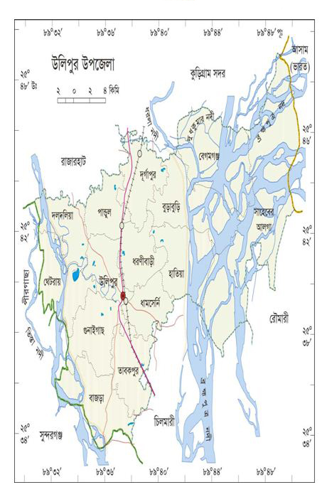
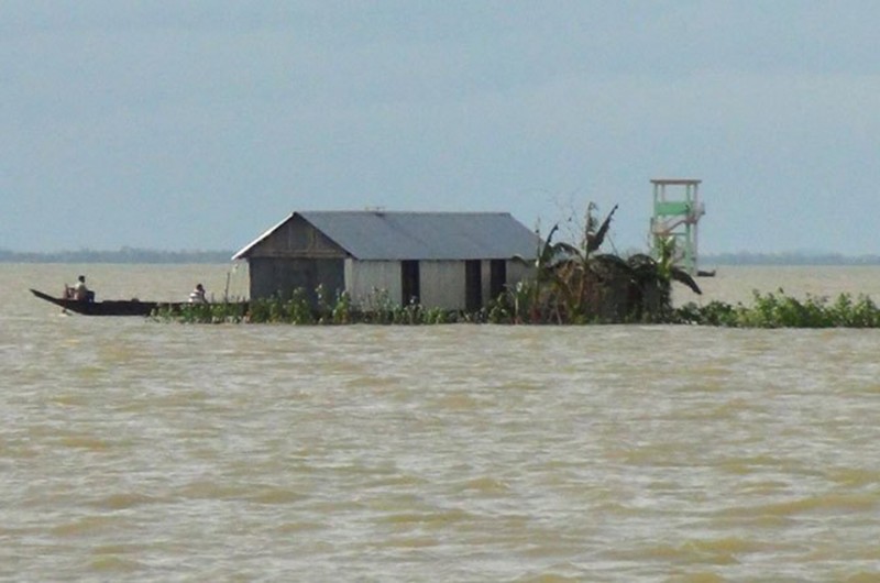
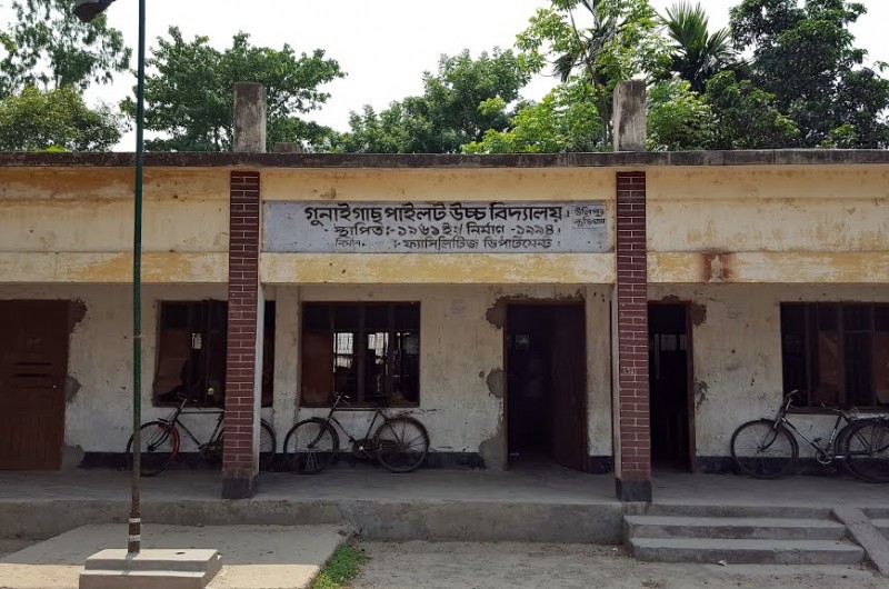
Ulipur upazila is located in the southern part of Kurigram district. It is the largest upazila of Kurigram district in terms of area. It is bounded on the north by Kurigram Sadar and Rajarhat upazilas, on the east by Assam and Roumari upazilas of India, on the south by Chilmari upazila and Sundarganj upazila of Gaibandha district, on the west by Sundarganj upazila of Gaibandha district. It is situated between 25°33 'and 25°50' north latitudes and between 89°31 'and 89°51' east longitudes. The distance from the district town Kurigram to Ulipur upazila is about 16 km. Its total area is about 458 sq km. Of these, rivers are about 8.64 sq km, char areas about 14.40 sq km and reservoirs about 0.72 sq km.
Map
Overview
| Upazila name | Ulipur (উলিপুর) |
| Distance from zilla | 23.30 KM |
| Total population | 490138 persons |
| Total families | 107038 |
| Total villages | 316 |
| Growth centers | 78 |
| Colleges | 0 |
| High schools | 0 |
| Secondary schools | 0 |
| Primary schools | 0 |
| Ebtedayee | 0 |
| Madrasah | 0 |
| Other institute | 0 |
| Education rate | 0% | 0% (Women), 0% (Men) |
| Community clinics | 0 |
| Satellite clinics | 0 |
| Hospitals | 0 |
Unions of Ulipur Upazila, Kurigram


